After searching for, but failing to find, the stone marked with St Thomas’ sleeping body described by the seventeenth century sources, I had resolved to return the next day and seek a guide who could get me access across the apple fields to the curious mounds. As it was Saturday I took the chance to ask at the municipal offices if I could look at the Calango stone. The administrator who took the key from her desk drawer and unlocked the iron gate admitted she did not know much about the stone. “But there are explanations on the walls” she said, pointing to six plaques.
They describe several phases in the history of the stone. Magical fertility rites carried out by people of Calango, under the guidance of priests, are followed by the visit of Francisco de Avila who discusses the stone with the local cacique, headman, Juan Pachao, and learns that it is called “where the star fell” in Quechua or “the clothing of the star” in Aymara. Next, Dominicans establish themselves in Calango in 1535 and convert the natives to catholicism, “extirpating the idolatries”, driving out the previous beliefs. The Cura Augustin Aller (according to Fray Geronimo de Garcia) makes a copy of the markings and sends them to Spain to be interpreted.
In 1625 Duarte Fernandez is sent by the Archbishop of Lima to chop at the lettering, since it allowed the natives to hold ceremonials and rituals asking for miracles, which the Dominicans could not compete with since they only knew Spanish.
Finally in 1638 Antonio de la Calancha visited and described how St Thomas had come to Calango and climbed onto the stone, leaving there his footprint. In this way the stone was converted into a catholic sacred object and the Dominicans no longer had reason to stop the natives from performing their rites.
This building and the interpretations on the walls, apparently scripted by Amerigo, the author of a pamphlet on the stone, were part of his ambitious goal to fence off all the stones in the valley and create museums.
We can see that this “museum” presents a picture of history being created and controlled by powerful men, here deriving their power from the Catholic church. The same view of the past was common throughout the world until the late twentieth century, history dominated by the acts of individuals, rather than broader economic or social forces.
Standing by the stone now within the high green concrete walls it is impossible to see the shapes of the mountains and the valley around.
What is clear from the stone itself is that it is hard and dark but not of the same composition as the rocks of Cochineros. It has none of the water-worn smoothness, and is more brown than black or grey.
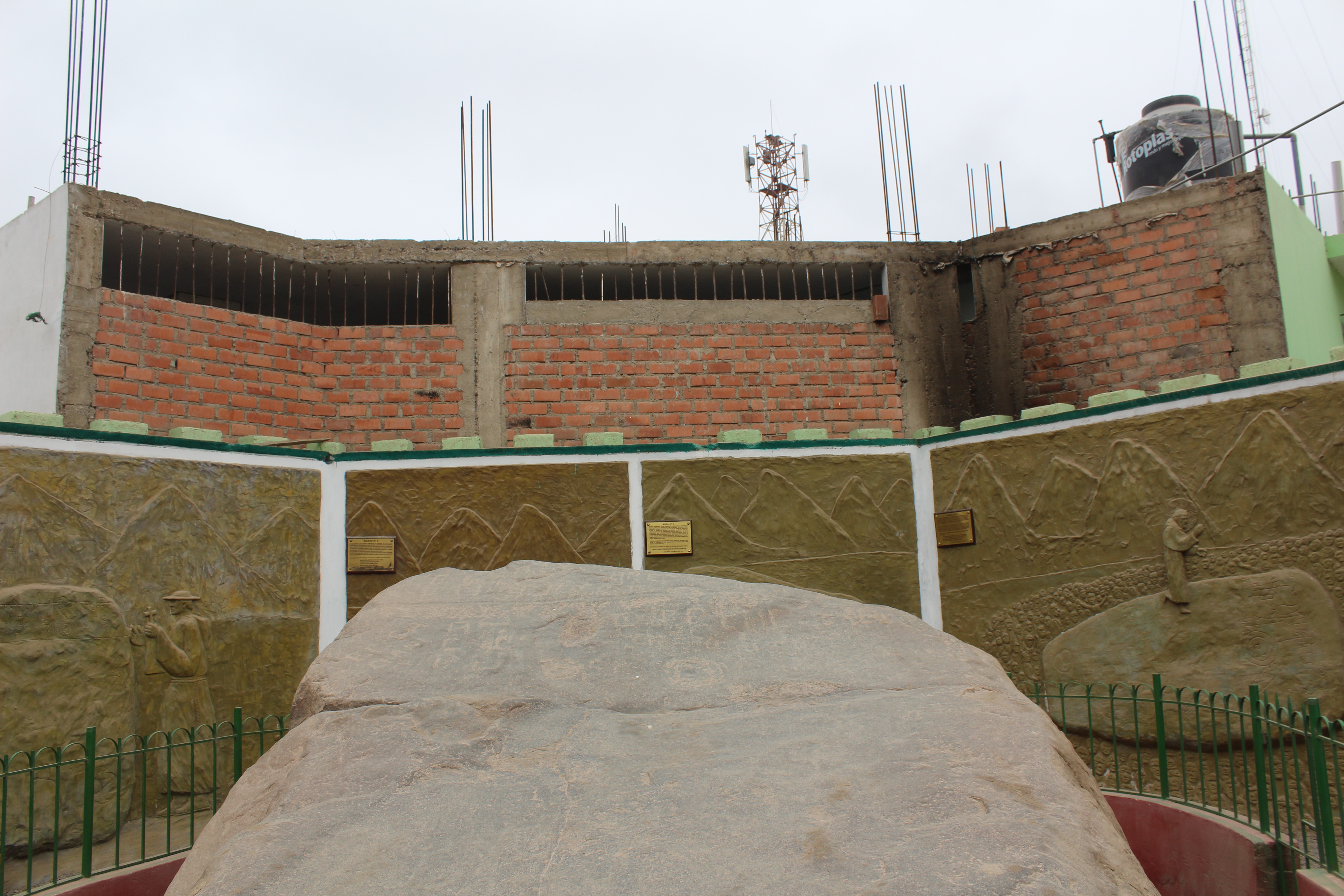
The present surroundings of the Calango stone makes it difficult to appreciate its relationship with the surrounding hills, fields and sky.
The rock surface is angled up towards the sky about 20 degrees. Standing at the foot, you look up the largely unmarked body of the stone towards a highly decorated band at the top.
The designs are barely visible, and are actually depressions in the rock, with little or no colour change. This is particularly the case with the flower on the lower right, where the rock is ground down only a few millimetres. The lower area is almost entirely smooth, as is the surrounding rock, in fact it appears almost polished.
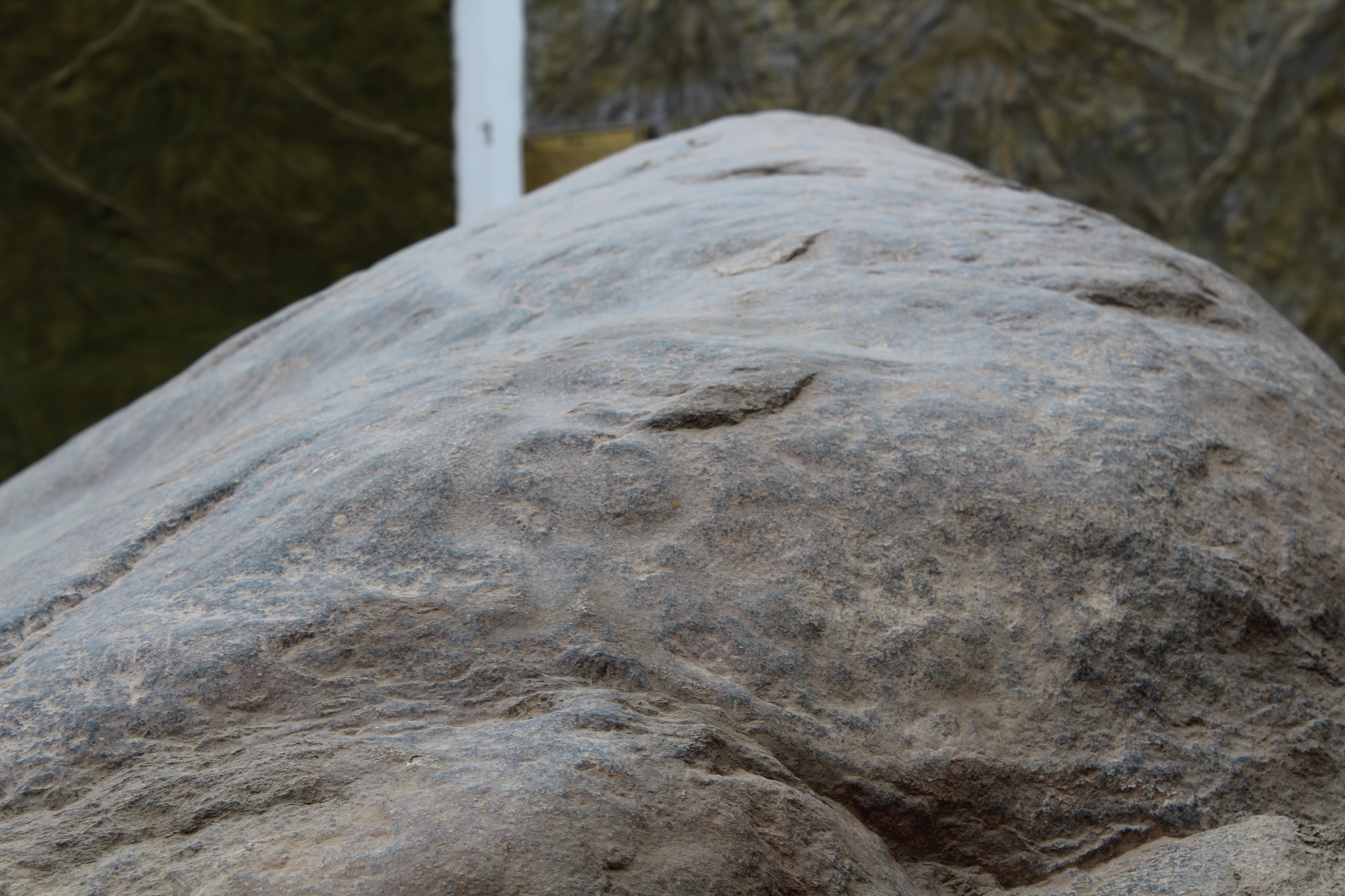
looking across the top of the stone, you can see a horizontal groove which ends in the foreground with a semi-circle an an outlet, which could have been a channel for offerings such as chicha beer.
There are markings which show a distinctly different shade to the background, but these appear to be modern alphabetical characters, such as initials, or the marks of Duarte’s chisels. The main remaining feature is a horizontal furrow high up at the top end, running the width of the stone, with a broken circle at one end, and a second circle slightly off centre. In fact the line is straight, but not absolutely horizontal. It seems likely that water or other liquid poured into the off-centre circle would flow to left and right along the furrow. It might also spill over into one of the lines descrending from the furrow at right angles, down towards the body of the stone and over an apparent spiral, below the central circle.
On the left hand side of the stone, at one end of an apparently natural crack parallel to the upper furrow, which marks the lower edge of the decorated band, is a bowl in the rock, possibly partly natural but also hollowed out by hand, as the inner surface is smooth. These suggest, as has been proposed for cupules and similar grooves, that they may have been a receptacle for liquid offerings, such as blood or chicha, maize beer, the use of both of which are well documented in the Huarochiri Manuscript.
“Are there any other stones like this in Calango?” I asked Noemi, but she said not, only some “further up, past La Capilla.”
There was a man Erasmo Quispe, who knew more, but he was only here during the week.
The stone is slanted up towards the sky, and the markings are at the top of the stone, with a series of markings along the furrow from left to right. They could certainly be marking events on the horizon, and the vertical lines could be indicating directions. But they are not aligned with sunsets, for example, as are many Inca sites. The centre of the stone is aligned towards 324 degrees, a little west of north. Sunsets in Lima are in the West plus or minus twenty degrees. Here as in most mountainous areas, the natural horizon provides its own astronomical markers.
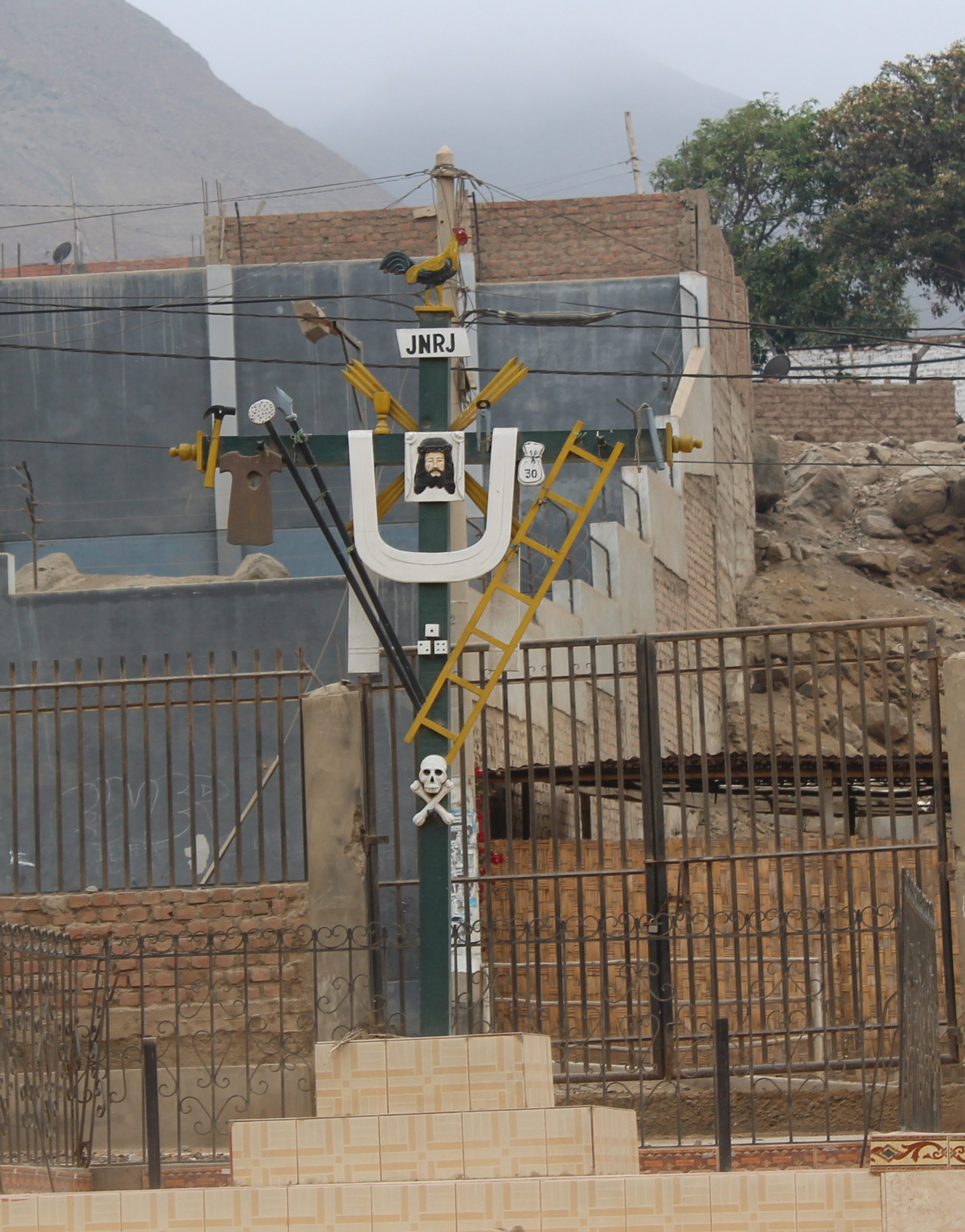
Behind the walled enclosure with the stone, in a small compound, behind locked gates, stands a crucifix decorated with its own icons, the code here easily understood. Depictions of individual objects – a ladder, a cockerel, hammer and nails, a bag of silver, a lance, three dice. These are illustrations for a children´s picture book, and it is easy to imagine a robed authority figure proclaiming his own alternative myths to assembled villagers, so close to the engraved stone.
Without a guide I head off upstream to get another look at the grey mounds. I take the second footpath down between adobe walls with neatly pruned apple trees in tidy rows on either side and catch glimpses of the two grey shapes in the fields behind the trees. At the bottom of the field a man is burning waste wood.
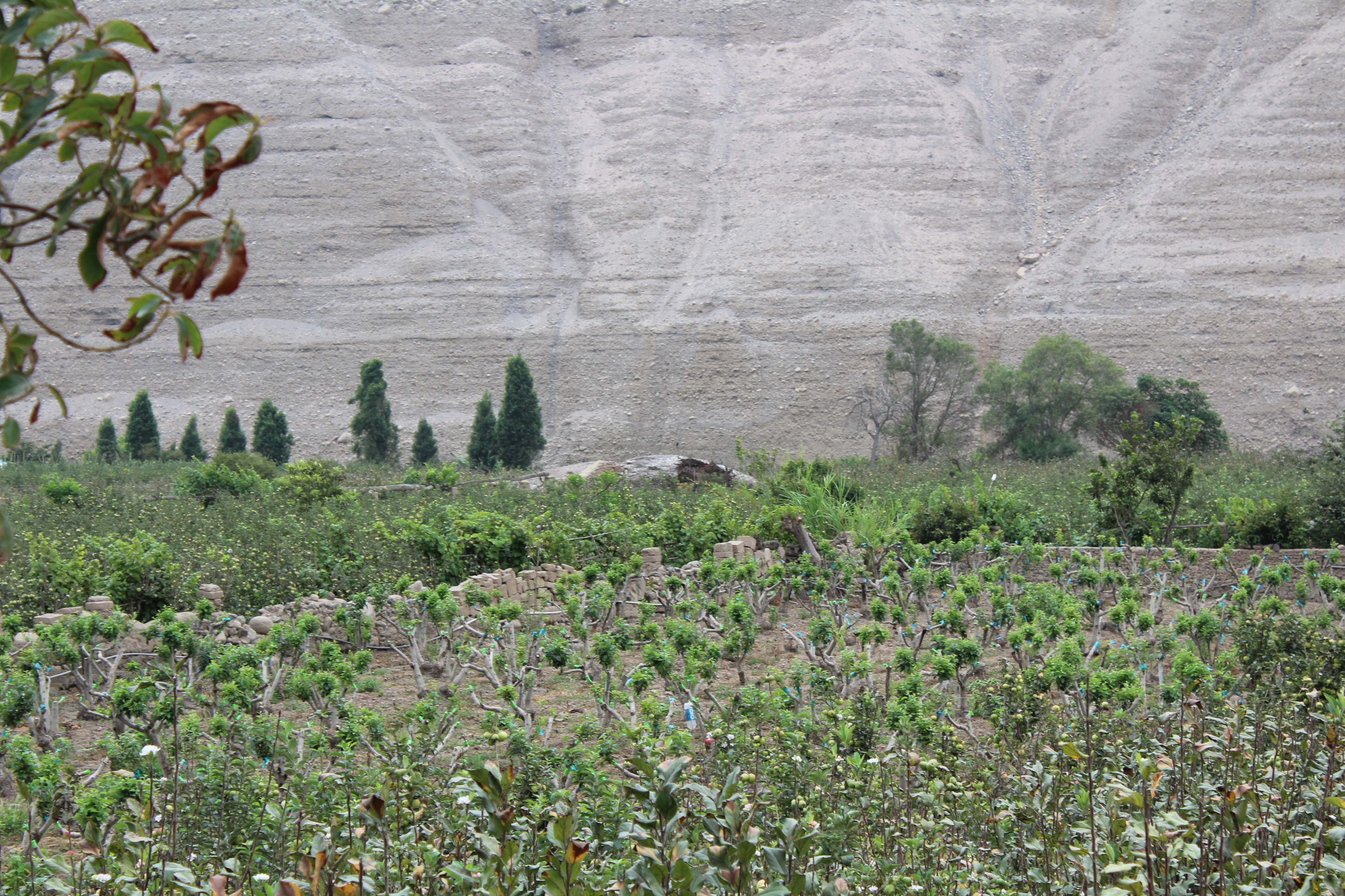
A grey mound in the field of apple trees, seen from the roadside. (above). The two mounds seen from the pathway between the fields (below).
“Is this your land?”
“No I am just a peon. I am clearing the ground.”
“I was out walking. I see there are two mounds there, like piles of pebbles.”
“I just work the land. I don’t have my own land. My father and my mother, they are very sick. They have diabetes.”
“I would like to go to see those mounds and take some photos”.
“of course, come up here.”
He helped me over the wall.
“They have to be careful what they eat, no sweets, no pastries, no soft drinks,” he continued.
“Yes that is how it is. But if they are careful they can get better.”
“Are there any herbs for diabetes?”
“The most important think is to be careful what you eat. But there is an injection too. Insulin.”
“They are very bad. But there are ways to treat it?”
I told him the little I knew about insulin production, breakdown of sugars and assured himthe most important thing was to manage their diet.
“I am very interested in the stones” I told him.
He waved upstream “There are plenty up there. You see the pink house? Round there, La Vuelta [The Turn], and up behind on the hillside. Too many.”
I thanked him and headed through the apple trees past two women picking apples to who I explained in my Spanish that I was going to look at the mounds, and the man had said it would be okay. They laughed, “we don’t understand a word you are saying!”
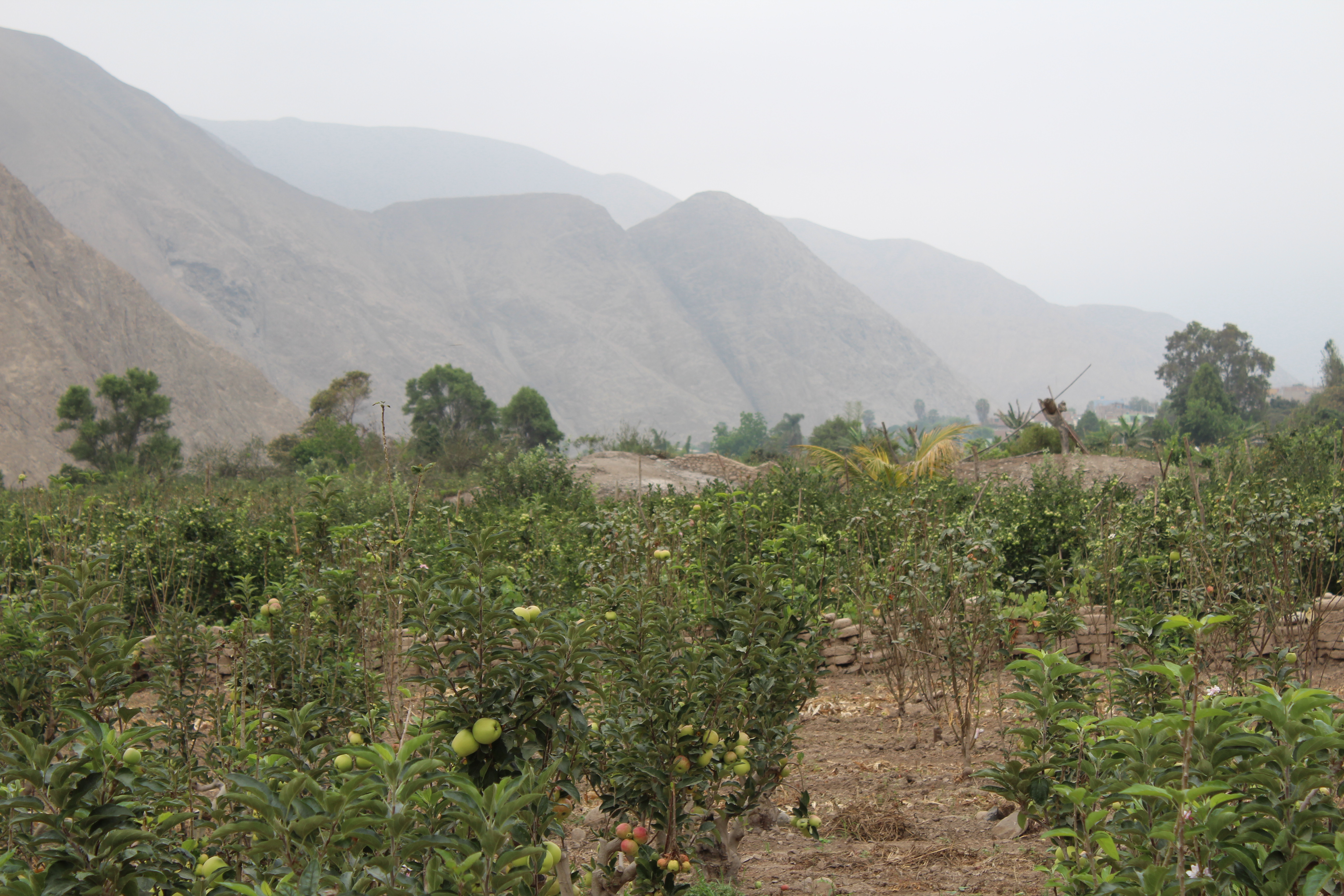
The first mound, as expected, was a mound of stones and gravel, not large stones as might be expected from clearing the fields, but more an accumulation of ash and dirt from burning and clearing. I climbed over a low wall and entered the second field, where the trees were newly grafted and were just putting out their first leaves.
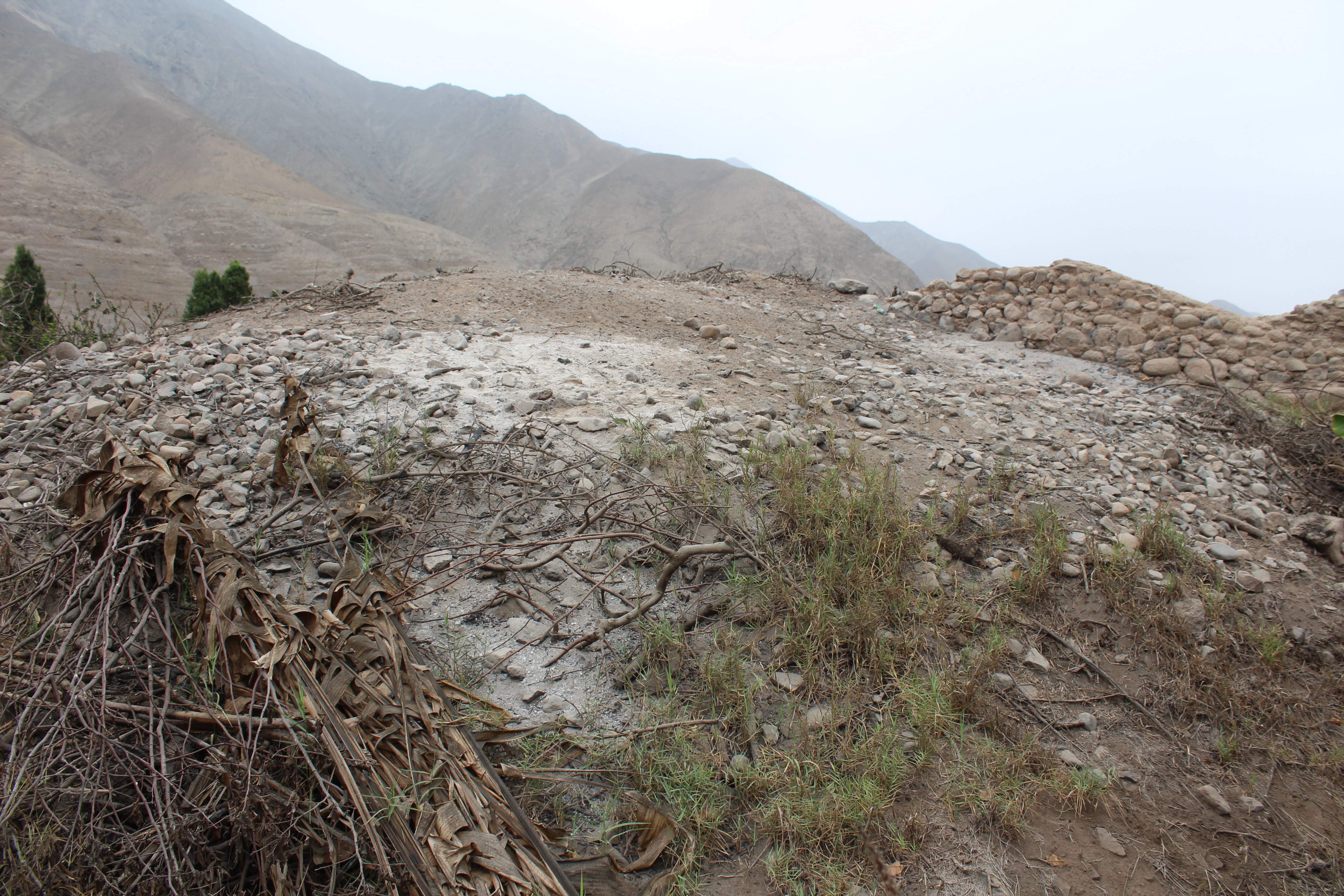
Close up to the second mound, apparently small rocks cleared from the fields, and ash from burning waste prunings (above). The adobe wall climbs onto the mound from one side, and the mound grows over it on the other (below).
This mound too appeared to be just pebbles and ash. The adobe wall reared up the side and came to an abrupt stop after a few metres. On the river side, a wall went into the mound at ground level and stopped. There was no sign of underlying stone or outcrops.
I was left with only one clue from Google Earth – an object in the centre of a field low down by the river, at the far end of the range, 14 quadras using the Lima city measure, just before the sharp bend in the river.
Walking a further kilometre up the road, looking down on the fields, with their low clay walls and miniature apple trees, I could not see how a “great rock” several metres long and wide, could be hidden here. There were occasional bowers of grape-bearing vines suspended on trellises of branches, small farmers´storage huts of quincha, cane and mud, and a few groups of mango trees or banana stems, but the view was overwise unimpeded. I could clearly see down into the first rank of fields, and into much of the second rank. Only the lower fields close to the river bank were not visible.
I reach the bend with a view down into the last field below where I had identified an object on Google Earth, and there it is – a farmers hut of clay bricks with a flat roof.
Retracing my steps downriver, I look up at the hillside of La Vuelta. In the bank of gravel above the road, a skull hangs suspended, half free from the earth. At intervals, scatters of mussel and abalone shells stand out against the dark stones, remnants of burial offerings or the contents of rubbish pits.
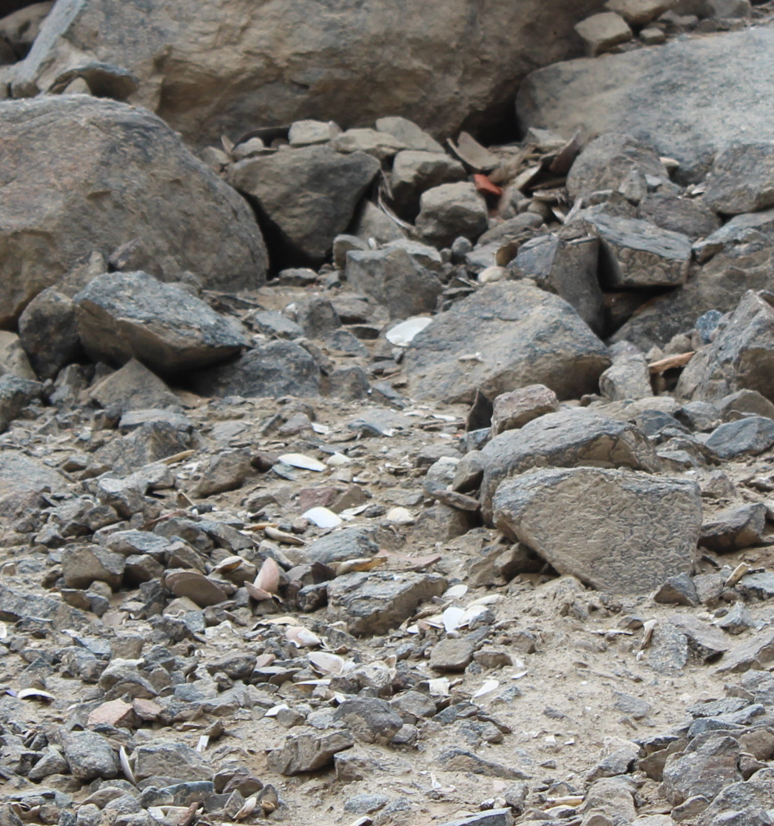
Beatifully preserved shells of mussels and clams (mesodesma donacium) in abundance on a rocky roadside slope 20 kilometres from the sea, There appear to be fragments of a clay pot beneath the large boulder, from which the shells could be falling.
At one point, a trail of bright white shells trickles from a broken ceramic pot in the shelter of a small walled niche of stone, slowly collapsing down the bank. The niche would once have held one or several mummified bodies, perhaps wrapped in cloths and bound with cords, with the pot of abalone shells as an accompaniment. These clams are found in coastal middens in central Peru going back as far as ten thousand years.
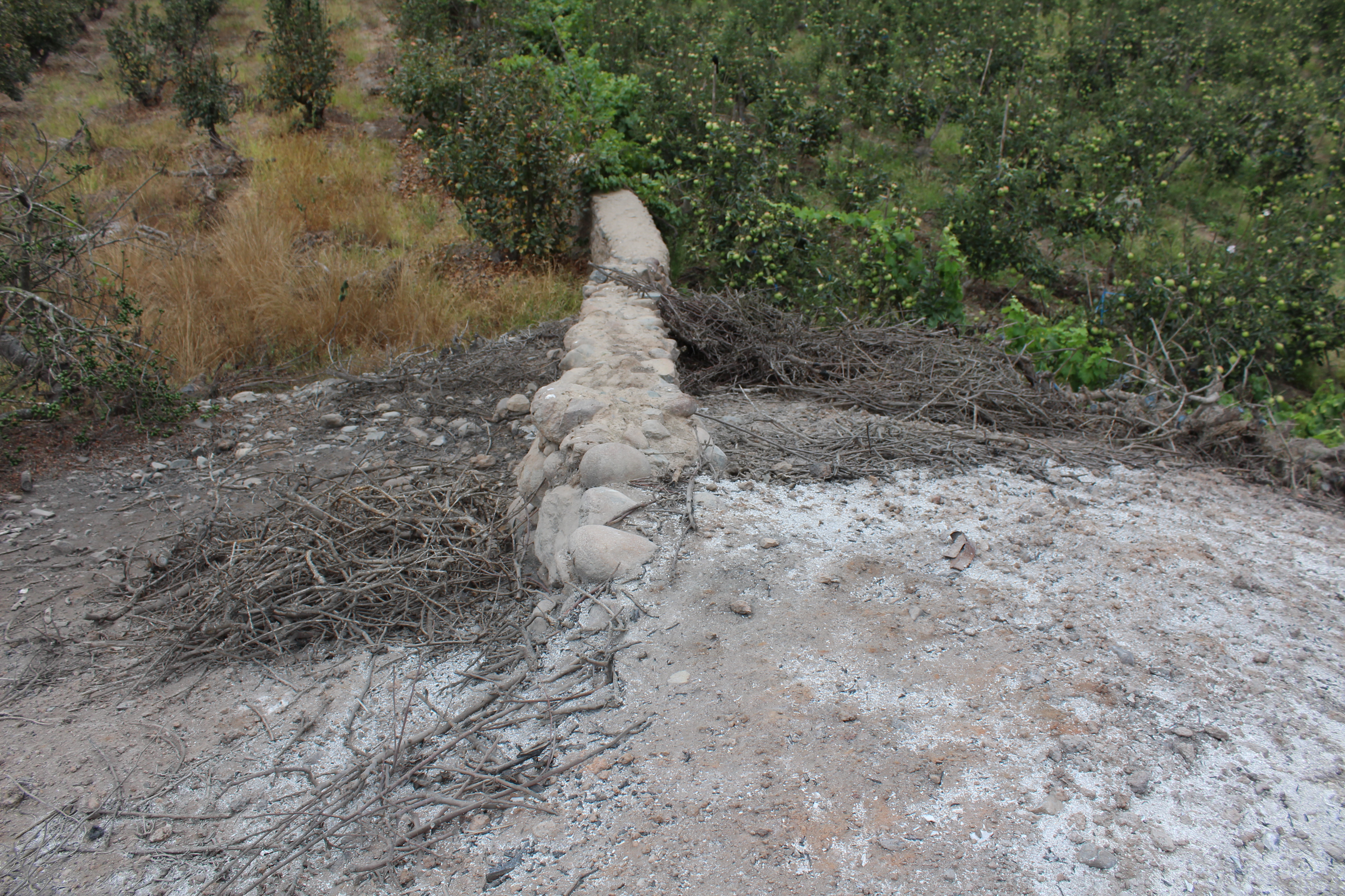
This new road was opened just four years earlier. The villages and burial sites through which it was driven are still re-arranging themselves. What could be the route of an older road winds between stone walls and monumental boulders, with rocky patios and bulding foundations. Similar structures stand above the road, and new settlers are erecting four wall of reed matting, or sheets of plastic suspended from poles. The foundations look old and massive. At an angle, facing away from the road, is a boulder with a series of cupules, two to three centimetres wide, fanning out in concentric semi-circles.
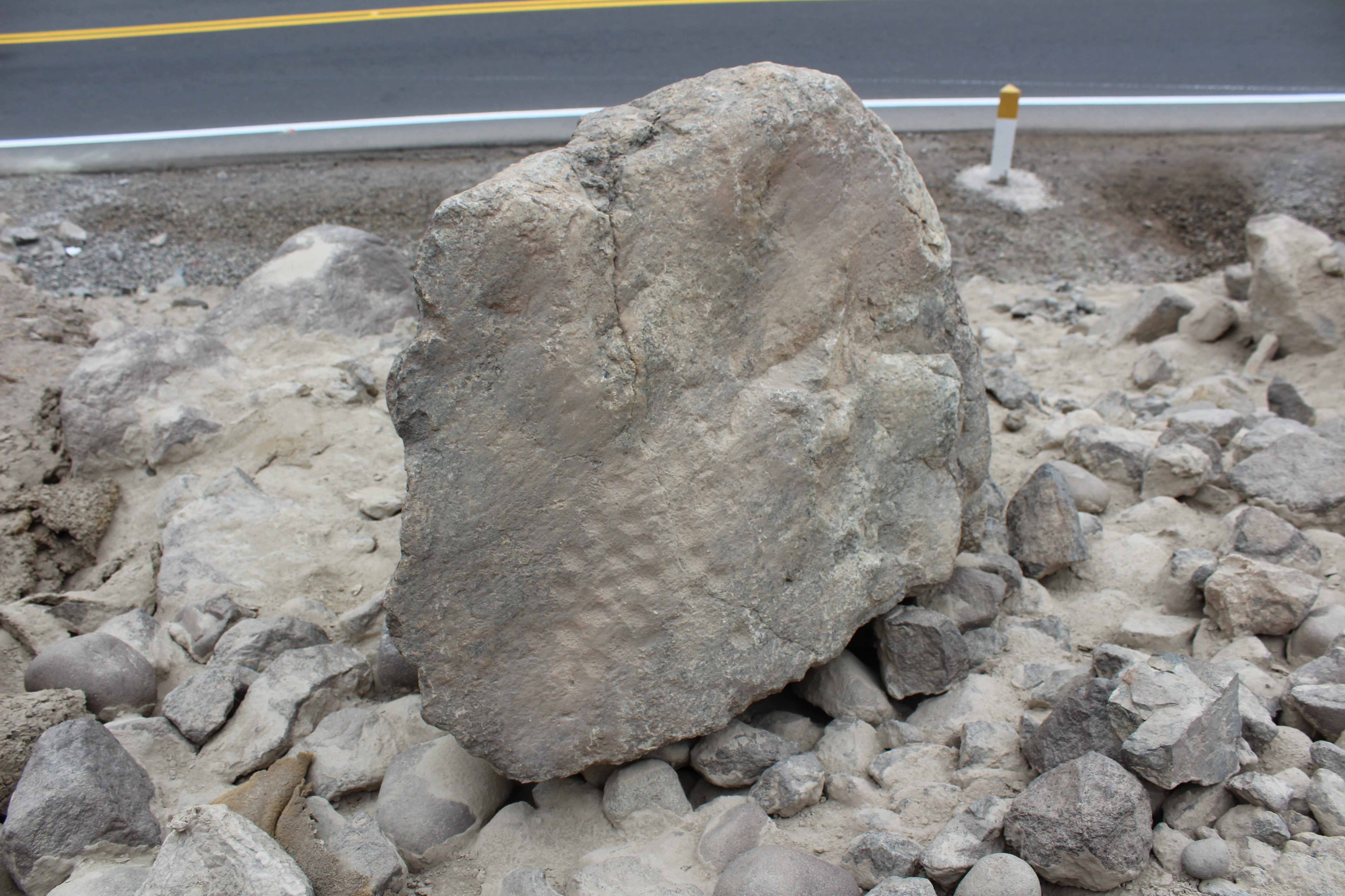
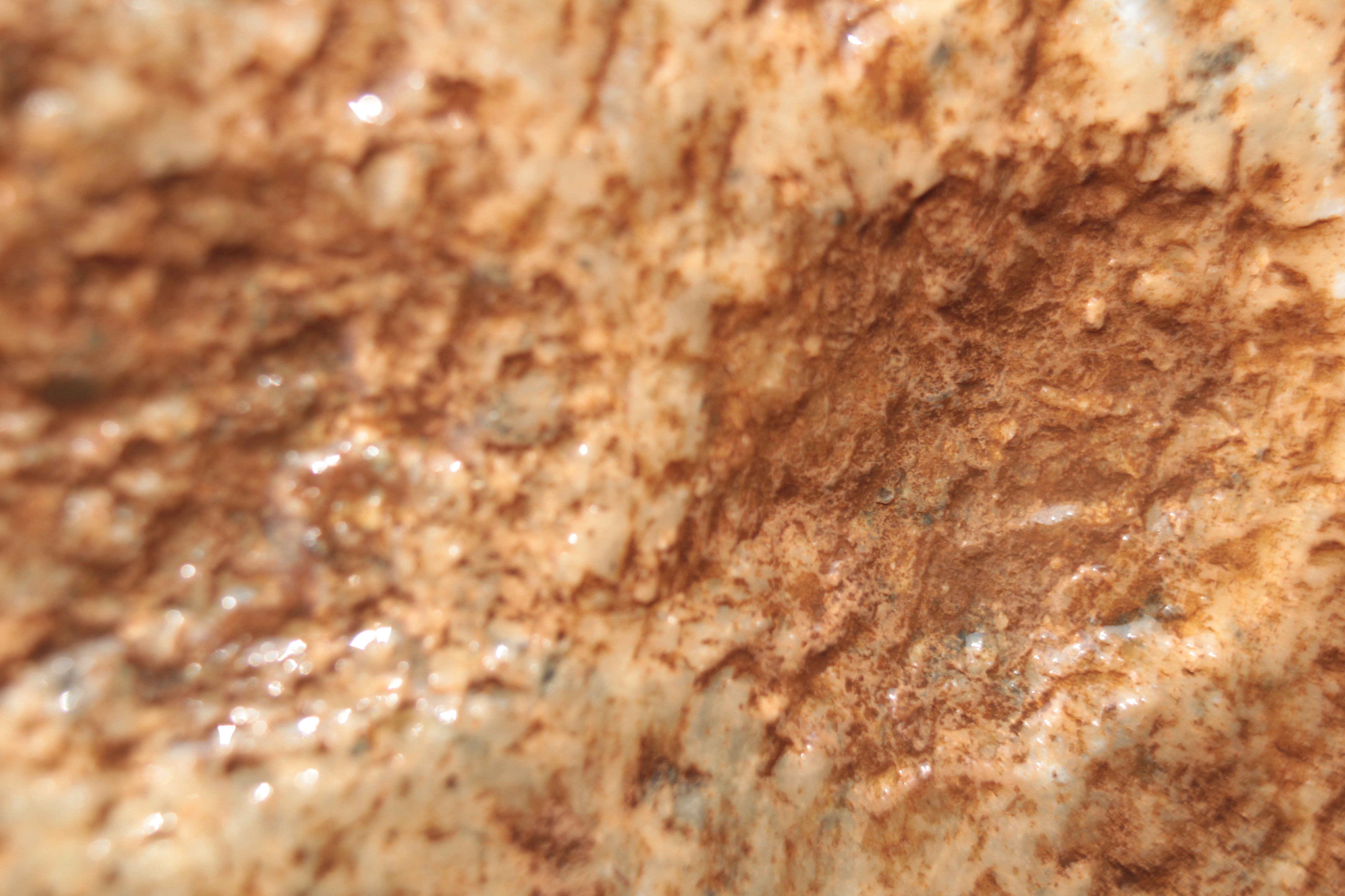
Cupules on a rock at La Vuelta. It would be very difficult to pound the marks on the stone as it is, balanced on smaller rocks above the roadside. It has most likely been dislodged from higher up the hill (above). Close up of the cupules (below) showing the individual cuts in what appears to be quartz.
It was time, I thought to find a local who could tell me more about these sites.